GeoSpy.ai
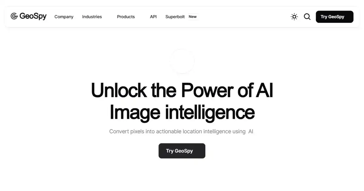
GeoSpy.ai is an AI-powered image geolocation API that pinpoints locations by analyzing image pixel data and identifying geographic features. It seamlessly integrates into various programming environments using Python, Java, and others. GeoSpy.ai offers flexible pricing tiers, from free usage for trials up to scalable plans for extensive commercial purposes and bespoke enterprise arrangements.
What is GeoSpy.ai
GeoSpy.ai is an advanced image geolocation API service using AI. It precisely pinpoints global locations by examining pixel data within images and recognizing distinct geographic characteristics. The API, crafted to empower seamless use and integration within diverse coding platforms, lets developers add accurate image-based location insights directly into applications, automating and streamlining location recognition processes.
Key Features of GeoSpy.ai
The core function of GeoSpy.ai is image geolocation using sophisticated AI algorithms. The analysis delves deep into pixel data, discerning diverse landscape traits for pinpointing positions precisely. The scalable structure allows for API-based image location tracking via diverse coding systems such as Python and Java.
AI-Powered Geolocation: Analyzes image pixel data using sophisticated AI algorithms to identify precise geographic coordinates globally.
Diverse Geographic Feature Recognition: Recognizes various natural and human-made landscape characteristics including building styles and soil types to achieve reliable estimations of locations.
API Integration: Enables flexible use and custom implementation across multiple development environments by supporting popular programming languages such as Python and Java.
Scalable Pricing Options: Offers plans for diverse usage from free assessments up to full-scale business projects, plus specialized high-volume and customized services.
Developer Resources & Support: Includes developer documentation, guidance, and backing for successful API incorporation, along with enterprise-level service features and responsive assistance for advanced needs
Use Cases of GeoSpy.ai
Location-Based Services: GeoSpy.ai can augment diverse location-aware services, adding functionalities to enhance GPS tracking or for place detection via captured images.
Data Enrichment & Analysis: Improve analytics efforts related to geography by recognizing location elements from gathered images, combining metadata with location details derived from imagery via visual analysis.
Automated Content Categorization: Streamline processes for categorizing content using identified locations taken from images themselves, enhancing search capabilities within large data quantities automatically.
Security & Intelligence Applications: Image location verification for authenticity or to detect manipulated image details that could indicate security threats; valuable data for due diligence procedures to assess locations using image validation efficiently.
Business Strategy Development: Augment decisions for site selection, area suitability, or proximity advantages with verified locations taken from image analyses; useful for managing assets where visualization combined with geographic accuracy provides enhanced risk analysis insights and optimal operational decisions
GeoSpy.ai Pros and Cons
- High Accuracy Geolocation: Provides location identification with enhanced speed and accuracy.
- Versatile API Integration: Facilitates smooth adaptation across diverse coding projects with adaptability for multiple languages and programming contexts.
- Flexible Scalability: Caters to a broad range of usage from casual use up to heavy utilization and bespoke implementation via scalable price tiers.
- Developer-Friendly Resources: The included resources for development such as supporting documentation enhance usage effectiveness significantly for development objectives and seamless inclusion of the service within larger structures
- Limited Free Tier: The free tier's image limit might be restrictive for larger projects.
- Dependence on Image Quality: Accuracy might be compromised by low-resolution images or obstructed views.
- Potential Privacy Concerns: Geolocation data use raises potential privacy issues requiring careful ethical implementation and legal adherence
GeoSpy.ai FAQs
How does GeoSpy.ai pinpoint locations using images?
GeoSpy.ai leverages AI to analyze pixel data within images and identify distinguishing geographic features like unique architectural styles, soil composition, vegetation patterns, and even subtle infrastructural elements. This allows it to pinpoint locations with a high degree of accuracy across the globe.
Who are the intended users of GeoSpy.ai?
GeoSpy.ai is primarily designed for developers and businesses. Developers can seamlessly integrate the API into various programming environments such as Python, Java, and more, gaining direct access to image geolocation capabilities within their projects. Businesses can leverage the service to augment their data analytics, automate processes, improve location intelligence, enhance due diligence procedures, manage risk assessments, or craft targeted business strategies.
What are the available pricing options?
GeoSpy.ai offers several pricing options to fit different needs: a free tier for trial and limited-scale use, allowing up to 20 image lookups; a flexible “Scale” plan based on usage volume, providing affordable options as project scope grows; and an enterprise-grade solution with customizable configurations to align perfectly with corporate image analysis requirements.
Interested in this product?
Updated 2026-01-09

🔍 Find More Tools
skingenerator.io is an AI tool for creating custom skins for video games. Users provide a text prompt, and the tool generates a skin based on the description. It offers different pricing plans for access to various generation models.
ChatDB is an AI database assistant designed to simplify data access and analysis. It enables users to query databases and data files using natural language instead of writing SQL. The platform also provides data visualizations and tools for handling different file formats like CSV, JSON, and Parquet.
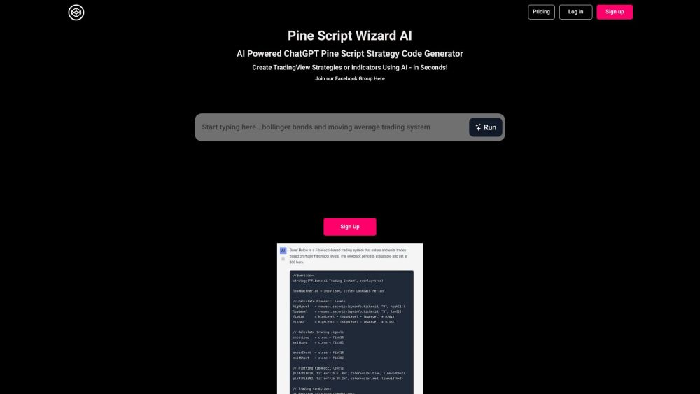
Pine Script Wizard is an AI-powered tool generating custom Pine Script code for TradingView strategies and indicators from user input.
PolyAI's customer-focused conversational AI platform develops lifelike voice assistants, delivering exceptional customer service for businesses in numerous industries.
Namelix is an AI business name generator that helps you create short, brandable names. It checks domain availability and integrates with a logo maker for a seamless branding experience.
Tired of spending hours agonizing over the perfect font combination? Fontjoy, an innovative website powered by machine learning, simplifies font pairing for designers and typography enthusiasts alike. With its user-friendly interface and powerful deep learning engine, Fontjoy analyzes font characteristics and generates visually harmonious pairings in just a few clicks, helping you create impactful designs that truly resonate.

